
Last updated:
Quick answer: A flood plain or overland flow path on your Auckland property does not stop you building, but it changes what you can build and how. Most work in an overland flow path needs resource consent, and your building consent can come with a natural hazard notice on your record of title.
You pull up your address on Auckland Council’s Flood Viewer and there it is. A blue line running diagonally across the back lawn, straight through the spot where the extension was going. Or a shaded blue patch covering half the section, in a street where you have never once seen water pooling.
That is the moment a lot of Auckland projects stall. Not because the site is unbuildable, but because nobody has explained what those maps actually mean, which of the council’s two consent systems each one triggers, and what is still possible on the parts of the site the water does not want.
Here is the part most homeowners are never told: flooding is assessed twice, by two different council teams, under two different laws, using two different tests. The planners look at whether your building sits in a mapped hazard area under the Auckland Unitary Plan (the single rulebook covering zoning and development across all of Auckland). The building consent team looks at whether the land itself is subject to a natural hazard under the Building Act 2004. You can clear one and get stopped by the other.
We are Sonder Architecture, an Auckland architectural studio and the design arm of Superior Renovations. Our team holds LBP Design Class credentials, meaning Licensed Building Practitioner qualified to design and document Restricted Building Work, the structural work council requires a licensed person to sign off. A decent share of the sites we assess have flooding of some kind on the maps, from villas near piped-over streams in the central suburbs to newer homes on low-lying West Auckland sections.
This guide covers what the three mapped flood hazards mean, exactly which activities are permitted and which need consent, the section 73 notice that can end up on your title, and the design moves that keep a project alive on a constrained site.

Flood Plain, Flood Prone Area, Overland Flow Path: What Each One Actually Is
The three blue layers on Flood Viewer are not variations of the same thing. They are produced differently, they behave differently in a storm, and they carry different consequences for your project. Getting them straight is the first step.
Three hazards, three sources of truth
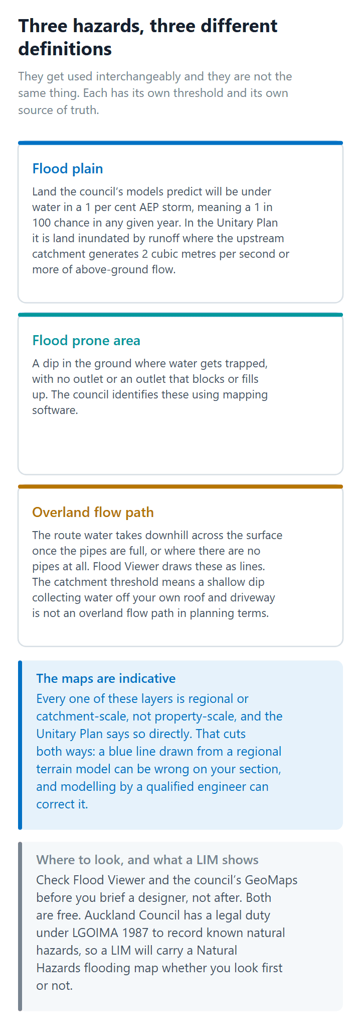
A flood plain is the land the council’s computer models predict will be under water in a 1 per cent AEP storm. AEP stands for annual exceedance probability, and 1 per cent AEP means a storm with a one-in-a-hundred chance of happening or being exceeded in any given year. People still call it the “one-in-100-year flood”, which makes it sound rarer than it is. Auckland Council notes that flood plains often show up in places you have never seen water, because so many of the city’s original streams were piped underground decades ago and the low ground they carved is still there.
In the Unitary Plan, a flood plain is defined as land inundated by runoff where the upstream catchment generates 2 cubic metres per second or more of above-ground flow. That is a genuine volume of water, not a puddle.
A flood prone area is a dip in the ground where water gets trapped. No outlet, or an outlet that blocks or fills up. The council identifies these using mapping software rather than flood modelling, so they are a rougher indication than flood plains.
An overland flow path is the route water takes downhill across the surface once the pipes are full or there are no pipes at all. Flood Viewer draws these as lines, but the line is only the centre of the flow. In reality water spreads sideways across a corridor several metres wide. The Unitary Plan definition is precise: a low point in the terrain, excluding a permanent watercourse or an intermittent river or stream, where surface runoff will flow, with an upstream contributing catchment exceeding 4,000 square metres.
That 4,000 square metre figure matters. It means a shallow dip collecting water off your own roof and driveway is not an overland flow path in planning terms. A dip collecting the runoff of half a dozen upstream properties almost certainly is.
💡 Homeowner tip: Check Flood Viewer and the council’s GeoMaps before you brief a designer, not after. Both are free. Five minutes at the start can save you a full concept design that has to be thrown away.
The maps are indicative, and that cuts both ways
Every one of these layers is regional or catchment-scale, not property-scale. The Unitary Plan says so directly: the flood plain maps and the overland flow path maps are indicative only, and a site-specific technical report by a suitably qualified person is usually what establishes the real extent, depth and flow characteristics on your land.
This is the single most useful thing to know if a map looks bad. A blue line drawn from a regional terrain model can be wrong on your section, and modelling by a qualified engineer sometimes shows the flow sits several metres from where the line was drawn, or is shallower than assumed. It also runs the other way. The absence of a marking does not prove your site is dry, and the council openly states that it does not hold flood-sensitive information for all of Auckland.
A Land Information Memorandum, the council report on a property that buyers usually order, includes a “Natural Hazards – Flooding” map. Auckland Council describes the LIM as a snapshot of what it already holds, compiled at that moment, not a new site assessment and not adjusted for any mitigation already built on the property.
Important: Auckland Council has a legal duty under the Local Government Official Information and Meetings Act 1987 to record known natural hazards, including flooding, on a LIM. If flooding appears on yours, it is on the public record for every future buyer. See Auckland Council’s guidance on its regional flood maps.
Why this shows up on so many Auckland sites
Auckland is a city of volcanic ridges and stream valleys with a hundred years of development laid over the top. Streams were piped, gullies were filled, and subdivisions covered catchments in roofs and driveways that shed water far faster than the paddocks they replaced. The water still follows the old contours. It simply does it above ground now, once the pipes hit capacity.
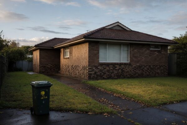
So a 1920s villa in the central suburbs can sit beside an overland flow path that follows a stream nobody has seen since the 1950s. A 1970s brick-and-tile on the flat can sit in a flood prone hollow that only reveals itself in a serious storm. Neither is a defect in the house. It is a constraint on the land, and constraints can be designed around once you know their shape.
The Resource Consent Rules: What Is Permitted and What Is Not
Chapter E36 of the Unitary Plan is where flooding rules live. Resource consent is the council’s permission to use land in a particular way, and it is a separate approval from building consent, which covers the construction work itself. E36 sets out an activity table: some things are permitted outright, others are “restricted discretionary”, meaning you need resource consent and the council can only consider a defined list of matters when deciding.
In a flood plain, 10 square metres is the line
Inside the 1 per cent AEP flood plain, a new structure or building of up to 10 square metres of gross floor area, meaning the total floor space measured inside the walls, is permitted on one condition: it has to sit where the flood depth in that 1 per cent AEP event does not exceed 300 millimetres above ground level. A small garden shed on the higher part of the flood plain, in other words.
Everything larger needs resource consent. The plan is blunt about it: all other new structures and buildings within the flood plain, including external alterations to existing buildings, are restricted discretionary. That captures the extension, the deck with a roof, the garage, the granny flat, and a full new house.
In an overland flow path, almost nothing is free
The overland flow path rules are tighter again, because the whole point is keeping the channel clear. Two things are permitted. Fences and walls that do not obstruct the flow, and flood mitigation works built specifically to reduce flood risk to existing buildings.
Everything else is restricted discretionary, and the wording is deliberately wide: any buildings or other structures, including retaining walls, located within or over an overland flow path. Piping the flow, diverting where it enters or leaves your site, or reducing its capacity in any way also needs consent.
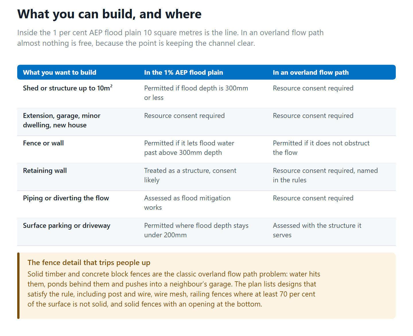
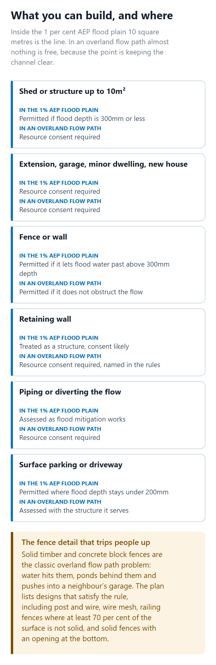
| What you want to build | In the 1% AEP flood plain | In an overland flow path |
|---|---|---|
| Shed or structure up to 10m² | Permitted if flood depth is 300mm or less | Resource consent required |
| Extension, garage, minor dwelling, new house | Resource consent required | Resource consent required |
| Fence or wall | Permitted if it lets flood water past above 300mm depth | Permitted if it does not obstruct the flow |
| Retaining wall | Treated as a structure, consent likely | Resource consent required, named in the rules |
| Piping or diverting the flow | Assessed as flood mitigation works | Resource consent required |
| Surface parking or driveway | Permitted where flood depth stays under 200mm | Assessed with the structure it serves |
The fence detail that trips people up
Solid timber and concrete block fences are the classic overland flow path problem. Water hits them, ponds behind them, and pushes into a neighbour’s garage. The rule for an overland flow path is that any ponding your fence or wall causes must not extend beyond your own site, either upstream or to the side.
The plan lists designs that satisfy this: post and wire, wire mesh, railing fences where at least 70 per cent of the surface is not solid, and solid fences with an opening at ground level big enough to carry the flow. In a flood plain the equivalent rule kicks in where flood water exceeds 300 millimetres deep, and the same design list applies.
💡 Homeowner tip: If you are replacing a fence on a site with a flow path, a slatted design with a clear gap at the bottom usually keeps you in permitted territory. A solid block wall on the same line may need consent and can create a genuine liability if it floods next door.
What the council actually weighs up
For a building or structure in an overland flow path, the matters the council can consider are set out in E36 and they are worth reading before you design anything. How vulnerable the proposed activity is. Where the habitable rooms sit. How the building provides safe access, and what flooding does to the routes people would use. And the effect on people during a flood, along with your ability to avoid or reduce it.
Read that list again and you can see what a good application looks like. Bedrooms and living spaces above the water. A dry way out. Nothing that makes life worse for the properties upstream or downstream. Those are design decisions, made at concept stage, not paperwork you add at the end.
Fees are worth planning for too. Auckland Council’s current lodgement deposit for a non-notified residential land use consent is $6,500, rising to $10,000 for limited notification and $20,000 if the application is fully notified, and the council invoices for actual processing costs above the deposit. Those sit on top of your building consent costs, which we break down in our guide to what a building consent costs in Auckland.
The Building Act Layer: Section 73 and Your Record of Title
This is the part that surprises people, and it is where an experienced designer earns their fee.
A completely different test
Section 71 of the Building Act 2004 requires the council to refuse a building consent if the land the work is on is subject, or likely to be subject, to one or more natural hazards, or if the work would accelerate or worsen a hazard on that land or any other property. The Act’s definition of natural hazard includes inundation, and it spells out what that covers: flooding, overland flow, storm surge, tidal effects and ponding.
Note the wording. The test is about the land, not the building. That is why a raised floor level alone does not always solve the problem.
Section 71 has a release valve. It does not apply if the council is satisfied that adequate provision has been or will be made to protect the land, the building work or other property from the hazard, or to restore any damage caused. Get there and your consent is processed normally.
If you cannot, section 72 takes over. It says that despite section 71, the council must grant the consent where the work will not accelerate or worsen the hazard, the land is subject to a hazard, and it is reasonable to waive or modify the Building Code for that hazard. So you can still build.
The catch is section 73. A consent granted under section 72 must carry a condition that the council notifies the Registrar-General of Land, and under section 74 the Registrar records an entry on the record of title, the official ownership record for your property, stating that a consent was granted under section 72 and identifying the hazard. A permanent flag on your title, visible to every future buyer, lender and insurer.
“Homeowners hear ‘you can still build’ and relax. What they have actually been offered is a consent with a natural hazard notice attached to their title. It is not a disaster, and thousands of Auckland properties carry one, but it is a decision to make with open eyes at concept stage, not something to discover in the consent conditions.”
— Sonder Architecture Team
Auckland Council’s own practice note on this is candid about the consequences, noting that registering a notice on the title may affect the owner’s ability to get appropriate insurance cover. It also confirms the notice can be removed later if a specialist report satisfies the council the hazard is no longer present.
When your renovation becomes a “major alteration”
Sections 71 to 74 apply to all new buildings and to major alterations. The council’s practice note sets out the factors its officers treat as major: an increase of more than 20 square metres to the floor area, an alteration affecting more than 30 per cent of the existing floor area, or an addition that increases the effect of the natural hazard on the existing building.
A 25 square metre bedroom addition on a flood plain site is therefore in scope, while a new bathroom inside the existing footprint generally is not. That threshold quietly shapes a lot of briefs. It is also why the sequence matters if you are planning a house extension, since the size of the addition can decide which set of rules you land in.
The 10-metre trigger, and the land “intimately connected” with your house
How close does the hazard have to be? Case law reads “the land” as the land intimately connected with the building, and Auckland Council applies a practical rule: if the natural hazard comes within 10 metres of the proposed building work, it assesses the hazard and works out how much of the surrounding land needs to be protected to avoid a section 73 notice. The practice note puts the protected area typically between 4 and 10 metres outside the building perimeter, depending on the risk and the nature of the hazard.
Applications on hazard-affected land are expected to come with an expert report assessing the effect of the hazard on both the land and the proposed building.
Four legitimate ways to avoid the notice
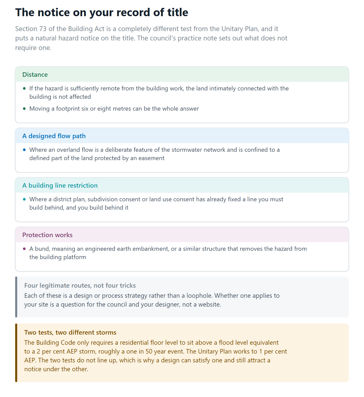
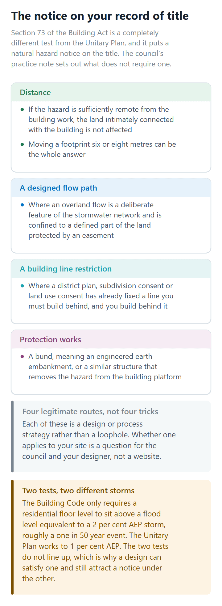
The council’s practice note is unusually clear about what does not require a section 73 condition, and each one is a design or process strategy rather than a loophole.
Distance. If the hazard is sufficiently remote from the building work, the land intimately connected with the building is not affected. Moving a footprint six or eight metres can be the whole solution.
A designed flow path. Where an overland flow is a deliberate feature of the stormwater network and is confined to a defined part of the land protected by an easement on the title, a section 73 notice is not treated as necessary. An easement, meaning a registered right requiring that strip to be kept clear, can itself count as protecting the land.
A building line restriction. If a district plan, subdivision consent or land use consent has already fixed a line you must build behind, and you build behind it, the consent does not need a section 73 condition.
Protection works. A bund, meaning an engineered earth embankment, or a similar structure that removes the hazard from the building platform can satisfy section 71(2) outright. The bar is high: the council expects protection works designed for a 100-year life, assessed by a suitably qualified person such as a Chartered Professional Engineer with hazard mitigation experience, with maintenance obligations registered against the title where relevant.
Important: The Building Code only requires a residential floor level to sit above a flood level equivalent to a 2 per cent AEP storm, roughly a one-in-50-year event, while the natural hazard test under the Building Act uses the 1 per cent AEP standard. Clearing the Code is not the same as clearing sections 71 to 74. Auckland Council sets this out in its practice note AC2229 Building on land subject to natural hazards.
Designing Around the Water: What Still Works
None of this makes a site a write-off. It makes the early design work decisive. Here is where the good moves are.
Move the building, not the water
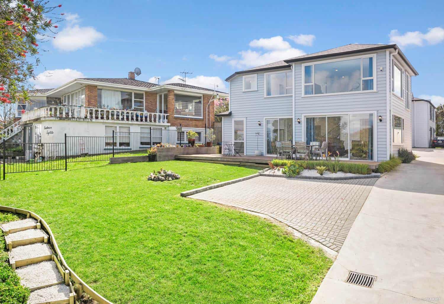
The cheapest fix is nearly always siting. Pull the footprint clear of the flow corridor, out past the 10-metre trigger, and both consent problems shrink at once. On a tight urban section that can mean turning a rectangular extension into an L, pushing living spaces to the dry side and putting the garage or a covered walkway where the water goes.
Where the flow crosses the middle of a section, sometimes the answer is a smaller building in a better place. A 45 square metre studio on dry ground consents faster and cheaper than a 70 square metre one straddling a flow path.
Get the floor levels right
Auckland Council’s Code of Practice for Land Development and Subdivision sets minimum freeboard, meaning the height your finished floor sits above the modelled top water level. In a flood plain that is 500 millimetres for more vulnerable activities, a Unitary Plan term that covers dwellings and other residential activities, and 300 millimetres for less vulnerable activities such as a garage or workshop. Freeboard is measured from the top water level to the finished floor level, and a lower figure needs a site-specific risk assessment as evidence.
| Situation | Minimum freeboard above the 1% AEP level |
|---|---|
| Habitable spaces in a flood plain (dwellings) | 500mm |
| Less vulnerable uses in a flood plain (garage, workshop) | 300mm |
| Coastal storm inundation, dwellings exposed to wave action | 500mm |
Freeboard is where a design either stays elegant or turns into a house on stilts. Half a metre of extra height has to be resolved: steps and landings at the entry, a driveway that still meets the garage at a workable gradient, and a total height that does not run you into the height in relation to boundary rule, the limit on how tall your walls can be near a fence line. A suspended timber floor often handles the lift more gracefully than piling up fill under a concrete slab, and it keeps the ground under the house available for water.
Let the water through, and give it somewhere to go
The rules reward buildings that do not fight the flow. Open subfloors instead of solid perimeter walls. Slatted fences and permeable paving. A garage or storage level at grade with the habitable rooms above, where the zone height allows it. On larger sites, shaping a low area to hold water during the peak, so the flow leaving your property is no worse than it was before.
Landscape does real work here. A gently graded swale, meaning a shallow planted channel, can carry a flow path around a new building instead of through it, and reads as a garden feature rather than a drain.
Granny flats do not get a free pass
The small stand-alone dwelling exemption for units up to 70 square metres, in force since 15 January 2026, changed the granny flat conversation. It is a building consent exemption and nothing more. It does not touch the Unitary Plan. A minor dwelling in a flood plain or an overland flow path still needs resource consent, and the council still assesses where the habitable rooms sit and how people get out safely. If a second dwelling is your plan, read it alongside the minor dwelling rules in Auckland before you settle on a location in the yard.
💡 Homeowner tip: On a flood-affected section, decide the position of a second dwelling from the hazard maps first and the sunlight second. A studio in the wrong corner can cost more in consent and engineering than the whole build saves.
Safe egress is now a design requirement, not a nice-to-have
Under the newer risk framework the council explicitly looks for safe refuge and a safe way out. In practice that means a route from the front door to the street that stays passable in a serious storm, and on higher-risk sites a part of the building people can retreat to. Both are far easier to provide at concept stage than to bolt on after a design is fixed.
What Plan Change 120 Changed on 3 November 2025
Auckland Council notified Plan Change 120 on 3 November 2025, and its natural hazard provisions took effect immediately. That is allowed under the Resource Management Act 1991, the law governing land use in New Zealand, which lets natural hazard rules bite from the moment a plan change is notified rather than waiting for it to become fully operative.
If you are applying for resource consent today, the new rules already apply to you.
The change introduces a risk-based framework. Flooding and coastal hazard risk is sorted into categories the council describes as acceptable, potentially tolerable and significant, based on the likelihood of the hazard and the consequences if it happens. The greater the risk, the tighter the controls, and the general policy direction is to avoid new development where risk is significant.
The council’s own worked example is instructive. A proposed new dwelling in a flood plain, where a site-specific assessment finds the risk is significant because it is a home inside an existing urban area and the flood depth and speed of flow fall in the high flood hazard band, becomes a non-complying activity, the hardest consent category to obtain. It can still be granted, but only where mitigation such as safe refuge and a safe exit route is provided. The mitigations the council lists are exactly the design moves above: higher floor levels, positioning the building away from the hazard, and creating additional flood storage.
Plan Change 120 also rezones. Residential properties exposed to the highest flooding and coastal hazard risk are proposed for the Residential Single House zone, which allows less intensification, and some sites drop from Terrace Housing and Apartment Buildings to Mixed Housing Urban for the same reason. For anyone counting on three dwellings or a townhouse development, a flood-driven rezoning can remove that potential entirely. We cover the wider picture in our guide to what Plan Change 120 does to Auckland’s housing density rules, and the development maths in our guide to subdividing a site in Auckland. If you are weighing up a site for a new build, Superior Homes covers how Auckland’s zones affect what you can build.
“The order of operations is what saves money. Hazard maps, then a site-specific assessment if the maps look marginal, then the footprint, then the floor plan. Every project we see in trouble did it the other way round and fell in love with a plan the site was never going to carry.”
— Sonder Architecture Team
Your Next Move on a Flood-Affected Site
Flooding on the maps is a constraint, not a verdict. What decides the outcome is whether you understand the constraint before the design is locked in, because by then every change is expensive.
Start with the free layers. Flood Viewer and GeoMaps, then the property file and a LIM if you are buying. If the maps are marginal, get a site-specific flood assessment from a suitably qualified engineer, since regional modelling is often wrong at the scale of one section. Then design with the water in mind: footprint clear of the flow, floor levels set with the right freeboard, a dry way out, and nothing that makes your neighbours wetter.
We do this assessment at the front of every project, and it is how we test a site’s hazard constraints before you commit to a design. If a section 73 notice is unavoidable, you will know early enough to decide whether the project is still worth it. If it is avoidable, you will know exactly which design moves avoid it. Either way you can also read up on how the building consent process works so nothing in the paperwork catches you off guard.
➡ Book a free consultation with Sonder Architecture
➡ Request your free feasibility report
➡ See what you can build without a building consent
➡ See recent projects we’ve done across Auckland
Yes, in most cases. A new building or extension inside the 1 per cent AEP flood plain needs resource consent under the Auckland Unitary Plan, and only small structures up to 10 square metres are permitted, and then only where flood depth stays at or below 300 millimetres. You will also need to satisfy the Building Act natural hazard test, which may mean raising floor levels or protecting the land. The design decisions that make it work are best made before any drawings are done. It is the route stormwater takes downhill across the ground once the pipe network is full or there is no pipe at all. The Auckland Unitary Plan defines it as a low point in the terrain, excluding a permanent watercourse or intermittent stream, where surface runoff will flow with an upstream contributing catchment exceeding 4,000 square metres. Flood Viewer draws these as lines, but the line is only the centre of the flow. Water spreads across a corridor several metres wide. Almost certainly. Any building or other structure, including retaining walls, located within or over an overland flow path is a restricted discretionary activity, which means resource consent is required. The only permitted work is fences and walls that do not obstruct the flow, and flood mitigation works that reduce flood risk to existing buildings. Diverting, piping or reducing the capacity of a flow path also needs consent. If Auckland Council grants a building consent under section 72 of the Building Act 2004 because the land is subject to a natural hazard, it must notify the Registrar-General of Land, who records an entry on your record of title identifying that hazard. It is a permanent public flag. Auckland Council notes it may affect your ability to get appropriate insurance cover. It can be removed later if a specialist report satisfies the council the hazard is no longer present. Auckland Council's Code of Practice for Land Development and Subdivision sets minimum freeboard, the height of your finished floor above the modelled 1 per cent AEP flood level. For dwellings and other more vulnerable activities it is 500 millimetres, and for less vulnerable uses such as a garage it is 300 millimetres. A lower figure needs a site-specific risk assessment. Freeboard is measured from the top water level to the finished floor level. They are indicative only. Auckland Council produces flood plain and overland flow path maps at catchment or regional scale, not from individual property data, and states directly that a site-specific technical report by a suitably qualified person is usually needed to establish the real extent, depth and flow characteristics on your land. That works both ways. A marked flow path can turn out to sit clear of your building platform, and unmarked land is not proof of no risk. The small stand-alone dwelling exemption removes the need for a building consent in defined circumstances, but it does not remove Unitary Plan requirements. A minor dwelling inside a flood plain or an overland flow path still needs resource consent, and the council will still assess the location of habitable rooms, safe access and effects on neighbouring properties. Choose the position on your section from the hazard maps first. It depends on scale. Sections 71 to 74 of the Building Act apply to new buildings and major alterations, and Auckland Council's practice note treats an increase of more than 20 square metres of floor area, an alteration affecting more than 30 per cent of the existing floor area, or an addition that worsens the hazard as major. A new bathroom inside the existing footprint generally sits outside that. A 25 square metre bedroom addition does not. Yes, if the fence does not obstruct the flow and any ponding it causes stays within your own site. The Unitary Plan lists compliant designs: post and wire, wire mesh, railing fences where at least 70 per cent of the surface is not solid, and solid fences with an opening at ground level large enough to carry the flow. A solid block wall across a flow path can need consent and can create real liability if it pushes water into a neighbour's property. Auckland Council notified Plan Change 120 on 3 November 2025 and its natural hazard rules had immediate legal effect, so they already apply to current applications. It introduces risk categories of acceptable, potentially tolerable and significant, with tighter controls as risk rises, and the general direction of avoiding new development where risk is significant. It also proposes rezoning the highest-risk residential properties to Single House zone, which reduces how much you can build.
Can I build on a flood plain in Auckland?
What is an overland flow path?
Do I need resource consent to build over an overland flow path?
What is a section 73 notice and does it hurt my property value?
How high does my floor level need to be on a flood plain?
Are Auckland Council's flood maps accurate for my property?
Does the 70 square metre granny flat exemption apply on a flood plain?
Will my renovation trigger the natural hazard rules?
Can I fence a section with an overland flow path?
What changed under Plan Change 120 for flood-affected properties?
References
- Auckland Council — Auckland Unitary Plan, Chapter E36 Natural hazards and flooding
- Auckland Council — Auckland Unitary Plan, Chapter J Definitions
- Building Act 2004, sections 71 to 74 — building on land subject to natural hazards
- Auckland Council — Practice note AC2229, Building on land subject to natural hazards
- Auckland Council — Plan Change 120 Information Sheet 8, Natural Hazards
- Auckland Council — Plan Change 120 Housing Intensification and Resilience
- Auckland Council — Understanding Auckland’s regional flood maps
- Auckland Council — Managing overland flow paths
- Auckland Council — Flood Viewer
- Auckland Council — Code of Practice for Land Development and Subdivision, Chapter 4 Stormwater
- Auckland Council — Resource consent fees and deposits